Drone & Thermal Roof Inspection in El Paso, TX
Commercial Roofers of El Paso handles drone & thermal roof inspection in el paso, tx with a roof walk, photo notes, repair priorities, and a clear plan for maintenance, recovery, coating, or replacement.
Drone & Thermal Roof Inspection Scope Notes
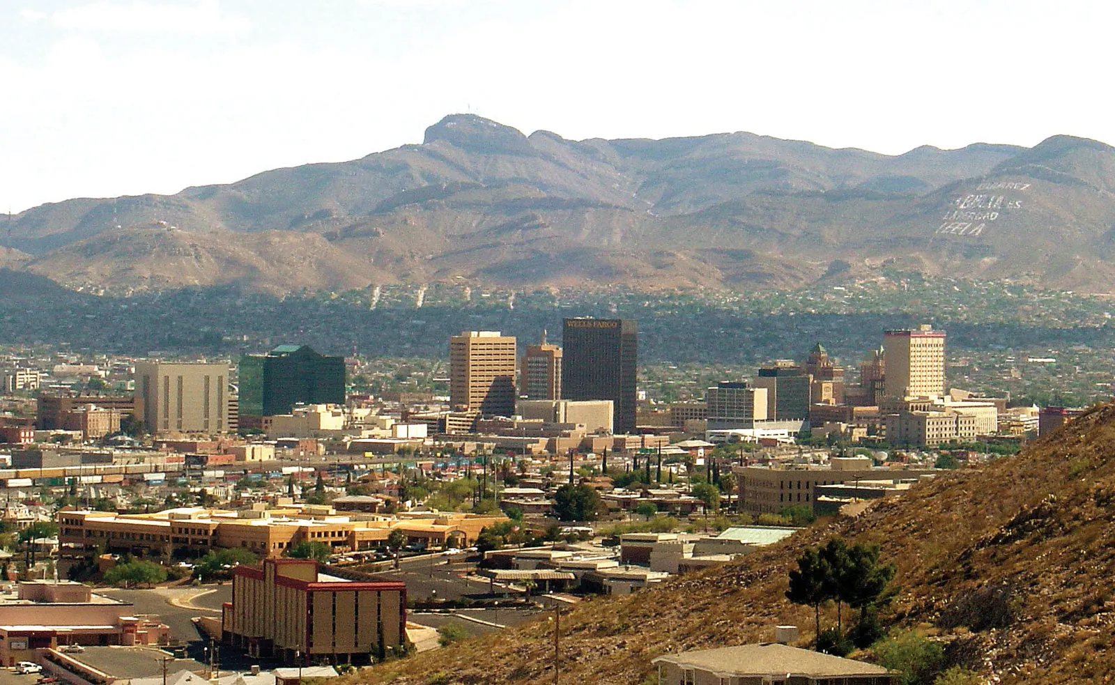
A faster, safer way to read a big El Paso roof
Some of the largest roofs in the region cover the warehouses of the Butterfield Trail Industrial Park beside the airport, the cross-border logistics buildings near the Bridge of the Americas, and the distribution and big-box corridor stretching out along Joe Battle Boulevard. One of those low-slope roofs can easily run past a hundred thousand square feet. Sending a crew to walk it end to end burns hours, tracks boots across a membrane we are supposed to be protecting, and still leaves the ponding pockets and lifted seams that nobody can spot from standing height. We fly the roof instead, and it answers all three problems in a single visit.
Our aircraft carries two sensors: a high-resolution visual camera and a radiometric thermal imager. The visual pass produces a complete, geo-tagged record of every drain basin, lap, curb, penetration flashing, and surface defect across the whole field. The thermal pass goes after what no camera in visible light can show, which is moisture trapped inside the assembly. When an owner is deciding between a few targeted repairs and a full replacement, that hidden-moisture map is the entire question, and it is the thing a walkover almost never settles with any confidence.
Why thermal imaging reveals trapped water
Wet roof insulation does not cool the same way dry insulation does. Across the day the roof soaks up heat. After the sun drops, the dry field radiates that heat back to the night sky and cools quickly, while the saturated areas hold their warmth because water stores far more heat than dry material. During that evening cool-down, a calibrated thermal camera reads the wet zones as bright signatures glowing against the cooler dry field, and the pattern traces the precise footprint of saturated insulation even where the membrane on top looks flawless.
El Paso's climate happens to be close to ideal for this. The dry desert air carries little moisture to muddy the signal, and the sharp plunge from a hot afternoon into a cool evening drives a strong thermal contrast. We schedule the thermal flight for the right night and the right window, because a scan flown after rain, under heavy cloud, or at the wrong hour returns noise rather than answers. A properly flown moisture map is detailed enough to drive a real specification: cut and patch a few saturated bays, recover a section, or budget the full tear-off.
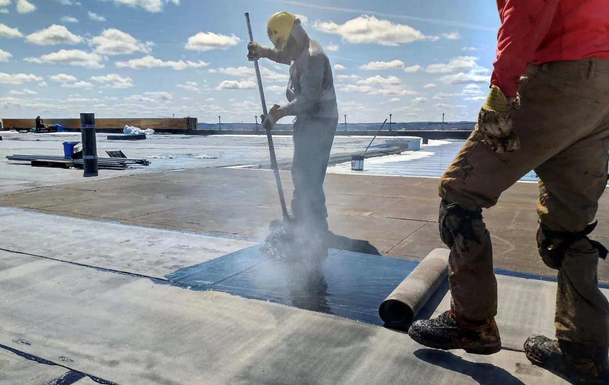
Nobody has to set foot on a questionable roof
Walking a roof of unknown condition is its own hazard. Saturated insulation can mask soft spots in the deck, aged fasteners back out under load, and every step on a brittle or ponded membrane risks creating the very leak you came to find. A drone captures the full record before anyone climbs up, so we already know where the trouble sits and where it is safe to walk if a hands-on follow-up is warranted. On occupied properties, like the hotels clustered along Airway Boulevard or a busy self-storage facility, it also means no lift rental, no roof-hatch traffic, and no disruption to the tenants below.
Flying legally in El Paso airspace
This is not a hobby quadcopter buzzing a parking lot. Every flight runs under FAA Part 107 with a certificated remote pilot, and the airspace here demands that be taken seriously. Much of the commercial roof stock owners most want inspected sits in the Butterfield Trail and Global Reach industrial areas, directly beneath the controlled airspace around El Paso International Airport, where a drone cannot leave the ground without LAANC authorization from the FAA. Proximity to the international border and to Fort Bliss layers on further restrictions across parts of the city.
We carry that approval process for you. We confirm the airspace class for your exact address, secure any authorization required, and follow the standard on-site protocols: visual line of sight, a pre-flight check, weather and wind limits, and constant awareness of people and vehicles below. The spring wind season, when gusts howl through the Pass from roughly February into May, factors into scheduling too, and we will move a flight rather than push imagery or safety in marginal conditions.
Documentation an adjuster can actually use
After hail or a high-wind event, the strength of your documentation often decides how the insurance claim lands. We deliver geo-tagged evidence an adjuster can review from a desk: hail-impact locations and density across the field, wind-displaced membrane and lifted laps, and damage to rooftop units, edge metal, and flashings. Because every frame carries its coordinates, the adjuster sees exactly where each finding sits on the roof rather than guessing from a folder of loose photos. We build the report to match what commercial carriers expect and can turn a post-storm package around fast when the clock is running.
Better numbers before a reroof or a capital budget
A drone survey is also how a sound reroof or capital plan should begin. Before anyone writes a specification, an aerial pass verifies the true roof area, locates and counts every curb and penetration, and records real existing conditions instead of assumptions inherited from old drawings. That accuracy pays back during construction as fewer surprises, fewer requests for information, and fewer change orders. For a property manager running several buildings across the El Paso and Las Cruces market, a periodic aerial-and-thermal pass on each roof converts reactive leak-chasing into a planned program, where moisture gets caught as a few wet bays instead of a soaked deck.
Common questions about drone roof inspection in El Paso
How is a drone inspection better than a traditional walkover?
It covers the entire roof systematically from a consistent altitude and produces a full photographic and thermal record with no foot traffic to damage the membrane or create liability on an unknown-condition roof. On the large flat roofs common in El Paso's industrial parks, a walkover eats hours and still misses ponding and low-slope problems, and thermal moisture mapping simply is not feasible on foot across that much area.
Can thermal imaging really show where moisture is trapped?
Yes, under the right conditions. Flown during the evening cool-down, the camera reads wet insulation as warm signatures against the cooler dry field, because water holds heat longer than dry material. El Paso's dry, clear nights and big day-to-night temperature swing produce excellent thermal contrast, and the resulting map is accurate enough to drive a repair-versus-replacement decision.
Are your drone flights legal near the airport and the border?
We fly under FAA Part 107 with a certificated remote pilot. Much of the commercial roof stock near El Paso International sits in controlled airspace requiring LAANC authorization, and areas near the border and Fort Bliss carry added restrictions. We confirm the airspace for your address and secure any authorization before we fly.
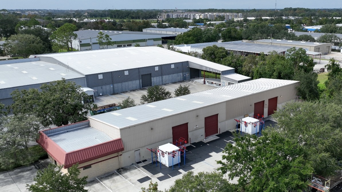
What kind of roofs benefit most?
Large low-slope commercial roofs: distribution and logistics buildings, retail centers, office complexes, hotels, and multi-building campuses. On any commercial roof over roughly 10,000 square feet that needs a full condition assessment, the aerial-and-thermal approach is faster, safer, and more thorough than a manual inspection.
How soon can you schedule, and how fast is the report?
Routine inspections are usually schedulable within a few business days, weather and airspace approval permitting. Post-storm flights for claim documentation are prioritized and can often happen within a day or two of the event, with a formatted claim package to follow quickly. We confirm the exact turnaround when you call.
Related Roof Paths
Auto Dealership Roofing in El Paso, TX
Auto Dealership Roofing in El Paso, TX starts with heat exposure, drainage paths, and storm history so the recommendation is tied to what the roof is showing.
Built-Up Roofing in El Paso, TX
Built-Up Roofing in El Paso, TX starts with roof access, tenant timing, and equipment clearances so the recommendation is tied to what the roof is showing.
Commercial Roof Inspection in El Paso, TX
Commercial Roof Inspection in El Paso, TX starts with storm history, repair records, and drainage paths so the recommendation is tied to what the roof is showing.